

Activities
Please get information for our activities


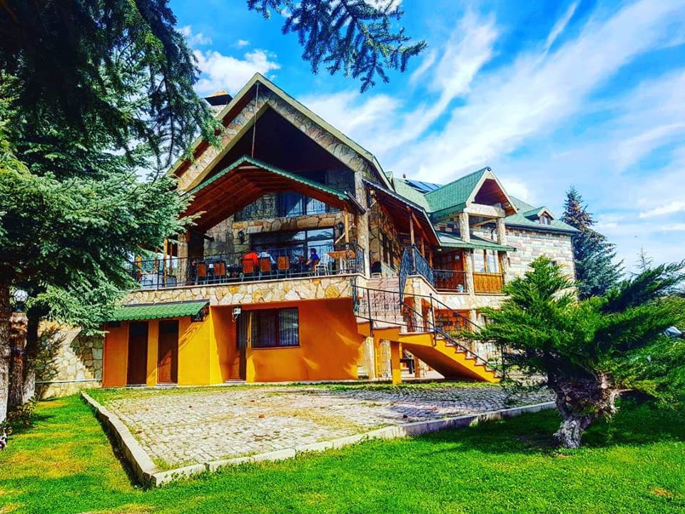
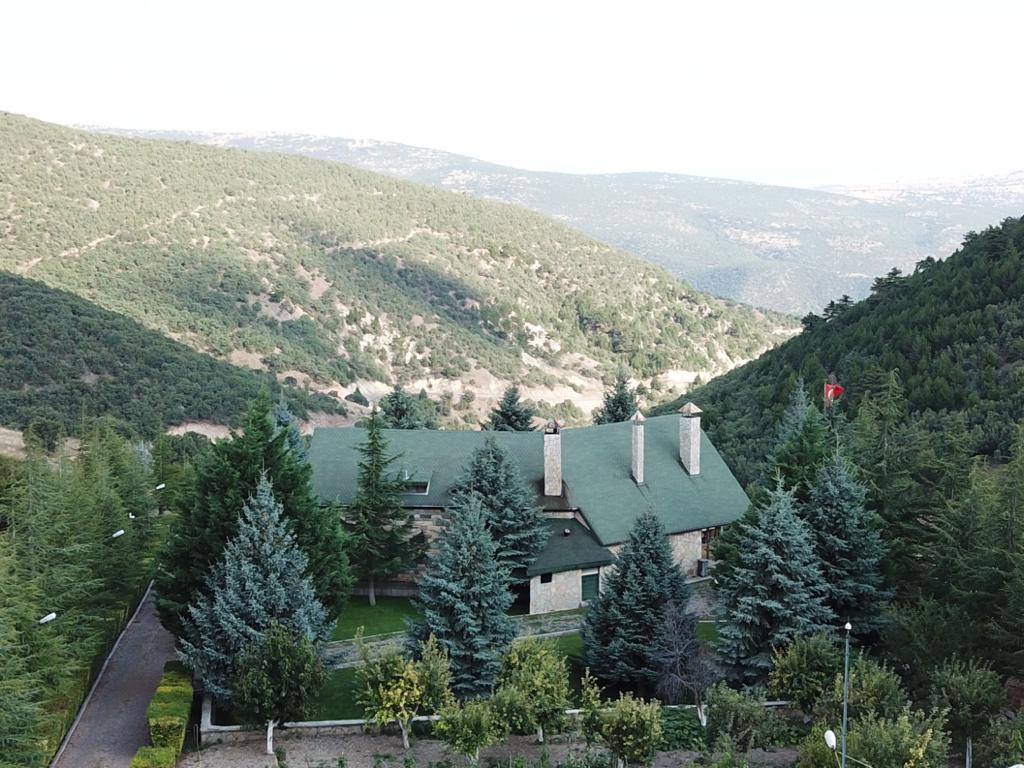
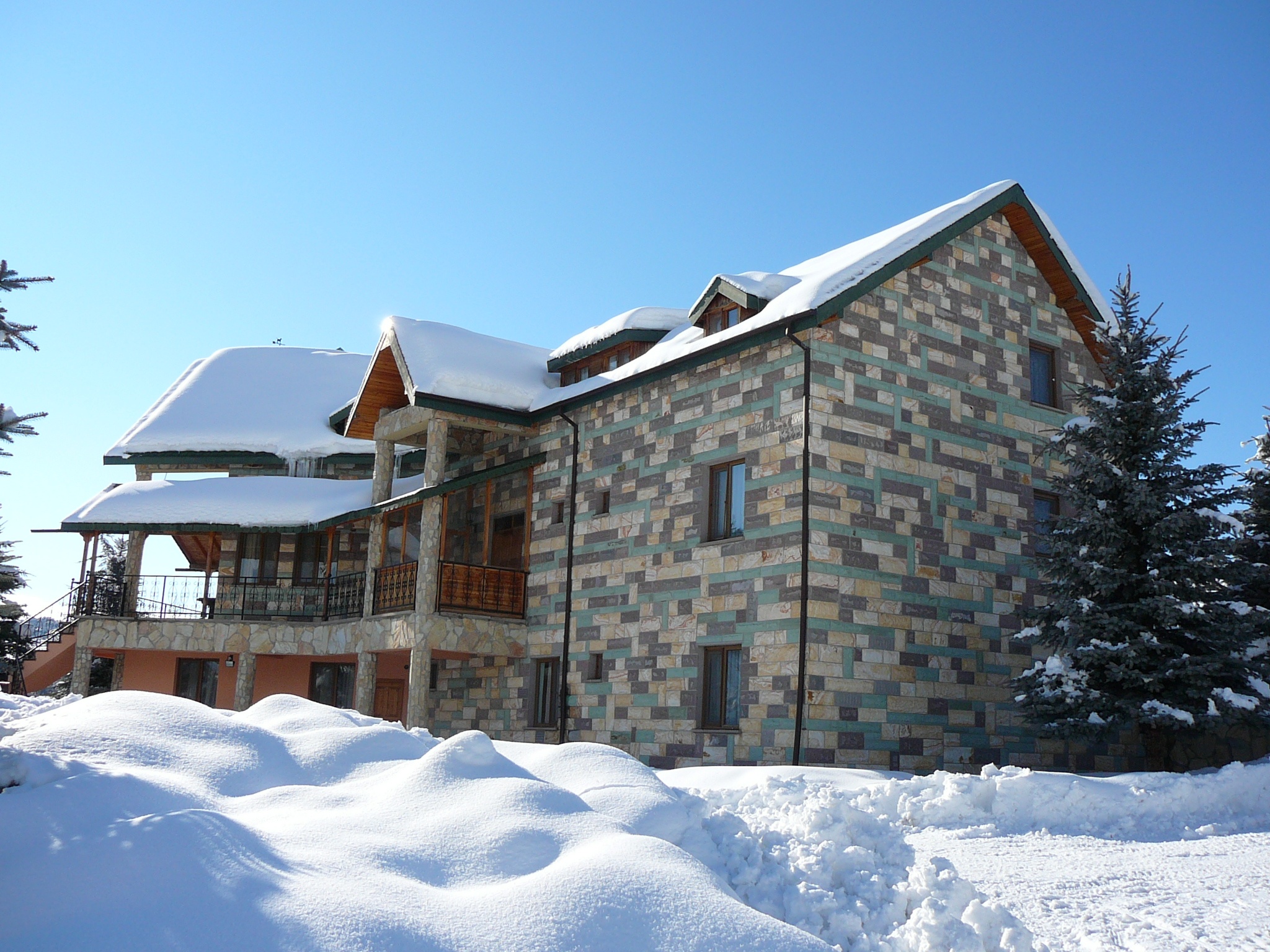
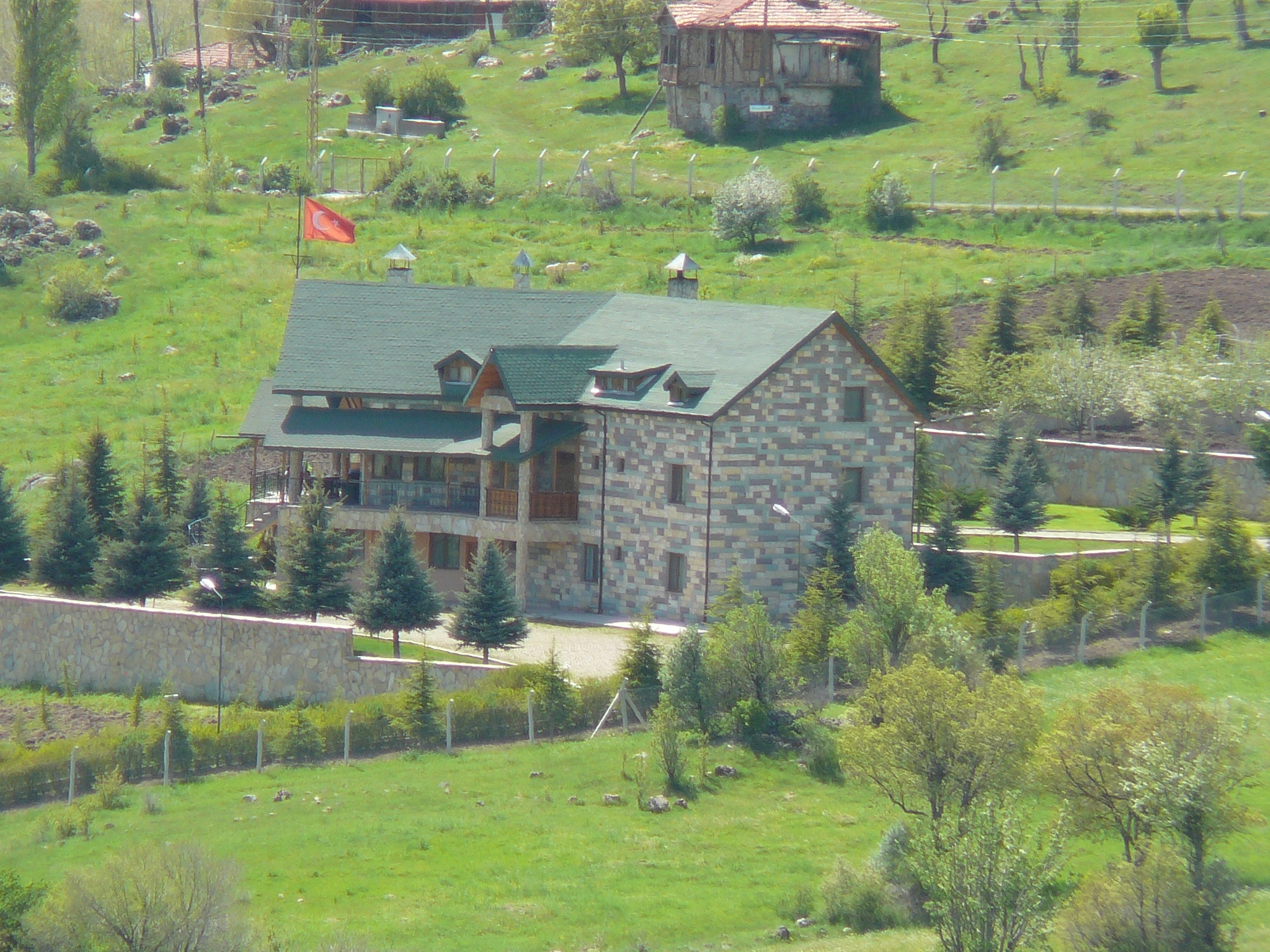
Kızılcahamam
Kızılcahamam & Soğuksu National Park
The terrain has a rugged topography. The elevation ranges between 1,030–1,800 m (3,380–5,910 ft) above mean sea level with a mean of 1,100 m (3,600 ft) The highest peaks are Tolubelen Hill 1,776 m (5,827 ft) and Arhut Hill 1,789 m (5,869 ft). Other notable hills are Harmandoruk Hill 1,648 m (5,407 ft), Çakmaklı’nın Doruktepe 1,530 m (5,020 ft), Samrıdoruk Hill 1,447 m (4,747 ft), Kayabelen Hill 1,400 m (4,600 ft), Kel Hill 1,393 m (4,570 ft) and Kara Hill 1,300 m (4,300 ft).
Besides Kızılcahanan, other populated places around the national park are small villages such as Karacaören, Sazak, Saraycık and Alveren.